English
 norsk
norskBlar i forfatter Artikler, rapporter og annet (geovitenskap) "Larsen, Yngvar"
Viser treff 1-5 av 5
-
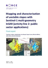
Mapping and characterization of unstable slopes with Sentinel-1 multi-geometry InSAR (activity line 2: public sector applications)
(Research report; Forskningsrapport, 2020)This is a high-level report that summarizes the main achievements and results of the research and development conducted in the project “Mapping and Characterization of unstable slopes with Sentinel-1 multi-geometry InSAR (activity line 2: public sector applications)”, where multi-geometry Sentinel-1 Synthetic Aperture Radar Interferometry (InSAR) is used for improving characterization of unstable ... -
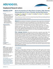
Recent acceleration of a rock glacier complex, Ádjet, Norway, documented by 62 years of remote sensing observations
(Journal article; Tidsskriftartikkel; Peer reviewed, 2018-08-23)Recent acceleration of rock glaciers is well recognized in the European Alps, but similar behavior is hardly documented elsewhere. Also, the controlling factors are not fully understood. Here we provide evidence for acceleration of a rock glacier complex in northern Norway, from 62 years of remote sensing data. Average annual horizontal velocity measured by aerial feature tracking increased from ... -
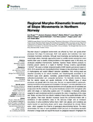
Regional Morpho-Kinematic Inventory of Slope Movements in Northern Norway
(Journal article; Tidsskriftartikkel; Peer reviewed, 2021-11-25)Mountain slopes in periglacial environments are affected by frost- and gravity-driven processes that shape the landscape. Both rock glaciers and rockslides have been intensively inventoried worldwide. Although most inventories are traditionally based on morphologic criteria, kinematic approaches based on satellite remote sensing have more recently been used to identify moving landforms at the regional ... -
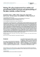
Relating 3D surface displacement from satellite- and ground-based InSAR to structures and geomorphology of the Jettan rockslide, northern Norway
(Journal article; Tidsskriftartikkel; Peer reviewed, 2017-12-13)This study combines remote sensing data from ground- and satellite-based radar to calculate 3D displacement vectors for the Jettan rockslide, Troms, northern Norway. Using 3D displacement vectors, aspect data and strain rates in conjunction with structure (foliation, faults, fractures), geomorphological elements (ridges, scarps, terraces, depressions), topography and borehole data, we identify zones ... -
Visualizing and interpreting surface displacement patterns on unstable slopes using multi-geometry satellite SAR interferometry (2D InSAR)
(Journal article; Tidsskriftartikkel; Peer reviewed, 2017-02-05)It is well known that satellite radar interferometry (InSAR) is capable of measuring surface displacement with a typical accuracy on the order of millimeters to centimeters. However, when the true deformation vector differs from the satellite line-of-sight (LOS), the sensitivity decreases and interpretation of InSAR deformationmeasurements becomes challenging. By combining displacement data ...